What is Satlas?
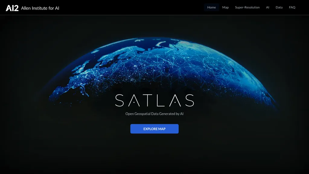
Satlas is a sophisticated AI tool from the Allen Institute for AI that provides exploration and analysis of geospatial data using its super-resolution imagery. State-of-the-art computer vision algorithms and architectures were used to turn low-resolution satellite images into high-resolution images across the globe.
Satlas provides access to AI models trained on large remote sensing datasets, such as satellite imagery and labels from the Satlaspretrain dataset. Besides that, it also makes available AI-generated geospatial datasets for free download and subsequent offline analysis. The core team at Satlas has a goal, which is to further progress in the field of computer vision by developing AI systems to see, explore, learn, and reason about the world.
Satlas Key Features & Benefits
Satlas includes a set of features and advantages that help in choosing it for many users across different domains. Some of its main features include:
-
Super-resolution:
Low-resolution satellite images are upgraded to high-resolution on a global scale. -
AI Models:
Trained AI models on large-scale remotely sensed datasets. -
Geospatial Data:
AI-generated geospatial datasets for detailed analysis. -
Offshore Wind Farms:
Specific datasets and models for analysis at offshore wind farm locations. -
Computer Vision:
Draw on state-of-the-art computer vision algorithms and architectures.
Satlas Applications
Satlas affords numerous advantages through location-based discovery of patterns, trends in satellite imagery, land use change detection over time, and areas of interest identification for further research in geospatial domains.
Satlas Use Cases and Applications
Satlas is a versatile tool with a huge number of applications across several sectors. Here are some specific examples of how Satlas can be used:
- Trends and patterns can be found in satellite images.
- Study the dynamics of Land-Use/ Land-Cover over some time.
- Filter out areas that require further examination in Geospatial themes.
Satlas is an accomplished solution to different businesses and individuals, including data analysts, research scientists, geographers, and professionals working in the GIS field.
How to Use Satlas
Using Satlas is not complicated. However, following a step-by-step guide aids the user in getting the most out of this robust tool:
-
Access the Platform:
Log on to Satlas’ website to access the platform. -
Upload Data:
Upload low-resolution satellite image data to the tool. -
AI Model Selection:
Select the right AI model trained using remote sensing datasets. -
Analysis of Results:
Animate the high-resolution images improved for analysis and research.
Familiarize yourself with the user interface and navigation for the best results. This will let you discover the features and datasets of the platform to get the best out of Satlas.
How Satlas Works
Satlas deploys state-of-the-art computer vision algorithms and architectures to bring its super-resolution capabilities into being. What follows is a general overview of how it works technically:
It is powered by the latest AI models, which are trained with large-scale datasets of remote sensing. These models allow for deep learning techniques to process low-resolution satellite images and upgrade them to high-resolution image quality. This workflow uploads satellite images, selects the appropriate AI model, and analyzes the result—high-resolution images—for geospatial insights.
Satlas Pros and Cons
Like any tool, Satlas has its pros and probable cons. Here are some based on user feedback and reviews:
Pros:
- Quality super-resolution imagery
- Extensive AI models and geospatial datasets that are readily available
- Easy to use with user-friendly interface
Cons:
- Stable internet is a must for this.
- There could be a slight learning curve for those who have never dealt with AI and computer vision technologies much.
Conclusion about Satlas
In a nutshell, Satlas is one of the most powerful artificial intelligence-based tools for the analysis of geospatial data, offering great library super-resolution imagery while providing access to many modern developed AI models. Thus, with its multiple features and advantages, it becomes a perfect tool for a data analyst, research scientist, geographer, and GIS professional. Of course, there are some drawbacks, but the pros balance the cons in this case and make it very useful for everyone dealing with satellite images and geospatial data.
Long-term developments and improvements in Satlas will make the platform increasingly better and easier to use.
Satlas FAQs
Here are some of the frequently asked questions concerning Satlas, along with detailed answers and explanations:
How much or what type of data can I analyse using Satlas?
Satlas enables the user to activate any satellite imagery or geospatial data for high-resolution enhancement for further in-depth analysis.
Who would need Satlas?
Satlas will be useful to professionals working in a wide range of domains: data analysts, research scientists, geographers, and GIS professionals.
Is Satlas free?
While you can download some AI-generated geospatial datasets, Satlas isn’t free. The exact pricing for the full package is not specified.
What are the system requirements to use Satlas?
For proper functioning, you should at least have a stable internet connection.


