What is Rapid Editor?
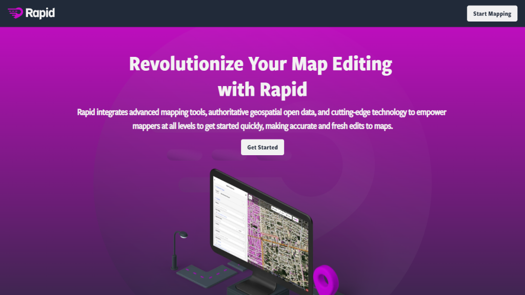
Rapid Editor is a web application that innovatively uses AI to convert satellite imagery into forecasted features. It provides a lightweight map interface for users to easily flip between layers and overlays smoothly. It’s intended for researchers, developers, and individuals interested in the analysis of any location through a visually engaging AI-powered map overlay called the magenta layer.
Rapid Editor Key Capabilities & Applications
Rapid Editor stands out by offering a host of capabilities necessary for productivity and valued insights in one space:
-
AI-Powered Map Overlay:
The magenta layer gives current predictions and details in concert with satellite imagery. -
Ease of Use:
Easily traverse the map, zoom in/out, and toggle between perspectives. -
Customization:
Customize the map toward specific needs, set preferences, save, and share customized maps. -
Continuous Improvement:
The updates of AI algorithms keep going on to make it accurate and reliable.
The advantages of using Rapid Editor are the enhancement in data visualization, improvement in collaborations by sharing maps, and the accurate prediction that justifies professional needs in various ways.
Use Cases and Applications of Rapid Editor
Rapid Editor has a lot of versatility in application across many sectors:
-
Urban Planning:
It assists in designing and managing urban spaces through detailed imagery and predictions. -
Environmental Monitoring:
Helps in understanding changes occurring around the environment and the consequences. -
Geographic Research:
Analyzing geographic data is better.
For instance, urban planners will be able to visualize and predict urban growth using Rapid Editor while scientists study deforestation or any other ecological change.
How to Use Rapid Editor
Using Rapid Editor isn’t a hassle. Here’s a step by step process:
-
Log in to the Platform:
Visit the Rapid Editor site and sign up for an account. -
Visualize the Map:
To visually navigate the various layers of map overlay in a more user-friendly fashion. -
Configure the Map:
Perform some modifications in map settings according to the user’s choices, such as zooms, selections of layers, among others. -
Data Analysis:
Use the AI-generated magenta layer and interpret insightful data from satellite imagery in a predictive manner. -
Save and Share:
You can save your customized maps and share them with your colleagues for collective efforts.
To make the most of this platform, it would be worth investing some time in getting acquainted with its tools and functionality and checking from time to time for updates to make the most of the latest improvements in AI.
How Rapid Editor Works
Rapid Editor uses advanced AI algorithms to make predictions from satellite images in great detail. At the core, the implementation of machine learning models that have been trained using large datasets and hence are capable of accurate identification or prediction of various features is implemented. The usual workflow consists of data acquisition, AI processing, and visualization.
That means it checks the accuracy of user data in actionable insights. Rapid Editor is, therefore, a dependable tool in data analysis.
Advantages and Disadvantages of Rapid Editor
Being just like any other tool, the Rapid Editor does have its strengths and grey areas:
Pros:
- The AI-powered predictions, that come out, are of great value.
- The workable user interface improves the general ease of use.
- Options for customization towards better data visualization.
- Constant improvement of the AI algorithms to make them more accurate.
Cons:
- Dependent on the quality and availability of satellite imagery.
- The interface may take some time to get used to by a user who has not worked on an AI-driven tool.
General feedback from users indeed speaks volumes about the efficiency of the platform and its newer features; however, users have suggested that it does take some getting used to in terms of the navigation through an AI interface.
Conclusion on Rapid Editor
In all, Rapid Editor represents a state-of-the-art solution, where the most advanced AI technology was integrated with an intuitive interface to transform satellite imagery into actionable insights. The broad scope of its features, ongoing improvements, and applicability to everyday use make this tool very welcome among expert practitioners in such disciplines as urban planning, environmental monitoring, and geographic research. With further advances in AI technology, Rapid Editor will continue to make more sophisticated and dependable predictions, maintaining its leading edge in its field.
Rapid Editor FAQs
Q: What is the magenta layer in Rapid Editor?
A: The magenta layer is comprehensive predictions powered by AI, overlaid as a map using satellite imagery.
Q: How do I share my customized maps in Rapid Editor?
A: Yes, users can save customized maps and share them with interested parties using the sharing functionalities of the platform.
Q: Which are the industries making maximum use of Rapid Editor?
A: Rapid Editor has an amazing capability to be applied in various industries such as urban planning, environmental monitoring, and geographic research.
Q: Is Rapid Editor free?
A: Rapid Editor follows the freemium model-meaning it is free with basic features, but looking for more premium options, it requires payment.
Q: How would you assess the accuracy of AI predictions made through Rapid Editor?
A: The AI prediction in it is quite accurate because continuous improvement and updates have been done on the algorithms.


