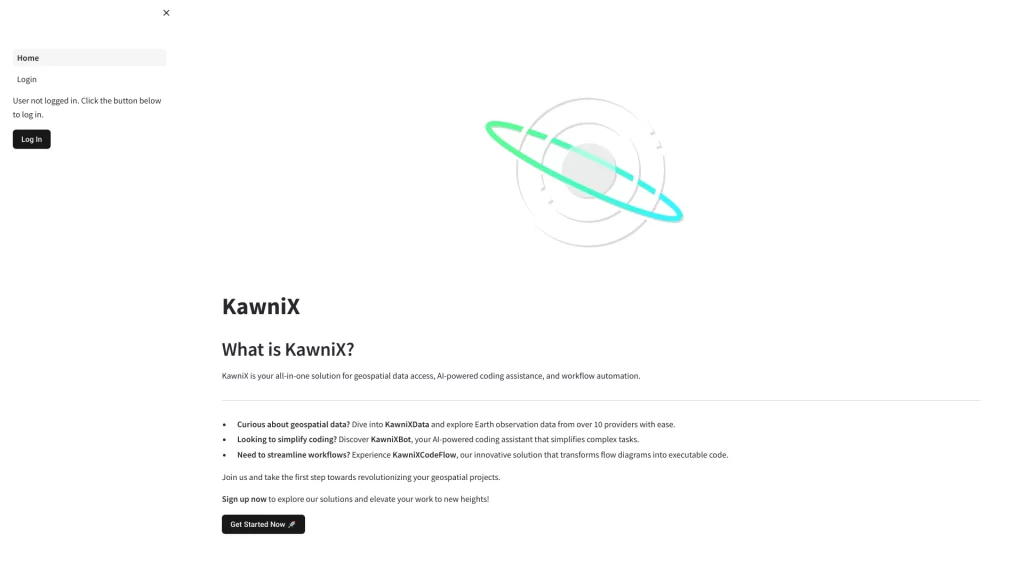
KawniX: The Ultimate Solution for Geospatial Data Access, AI-Powered Coding Assistance, and Workflow Automation
KawniX is an advanced platform that offers a comprehensive solution for accessing geospatial data, providing AI-powered coding assistance, and automating workflows. With KawniX, users can easily manage and analyze large volumes of geospatial data, streamline their coding process, and automate repetitive tasks, saving time and increasing productivity.
Geospatial Data Access
KawniX provides easy access to a wide range of geospatial data, including satellite imagery, maps, and geospatial databases. Users can quickly search and find the data they need, preview it in various formats, and download it for further analysis. KawniX also offers advanced tools for processing and analyzing geospatial data, such as spatial querying and spatial analysis.
AI-Powered Coding Assistance
KawniX comes with an advanced AI-powered coding assistance feature that helps users write code faster and with fewer errors. The platform offers intelligent code completion, syntax highlighting, and error detection, among other features. This makes coding more efficient and less time-consuming, allowing users to focus on more important tasks.
Workflow Automation
KawniX allows users to automate repetitive tasks and workflows, such as data processing and analysis, report generation, and data visualization. The platform offers a range of automation tools, including scripting, workflows, and APIs. This saves users time and effort, allowing them to focus on more important tasks, such as analyzing data and making informed decisions.
Overall, KawniX is an essential tool for anyone working with geospatial data. It provides easy access to data, AI-powered coding assistance, and workflow automation, making it easier and faster to manage and analyze large volumes of geospatial data.


